
ENVIRONMENT
Four ways to discover Lugo
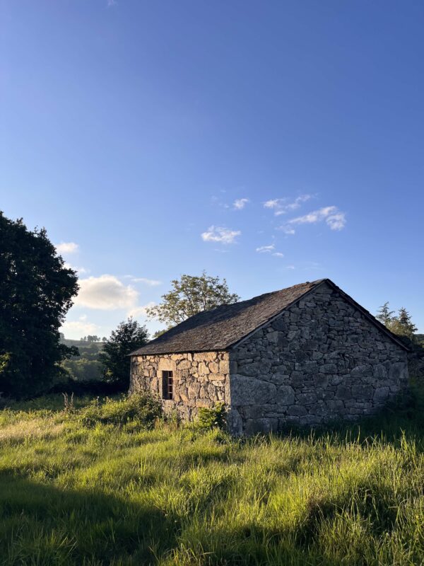
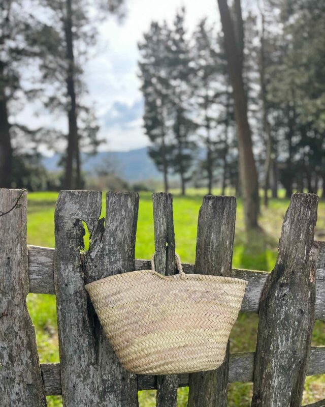
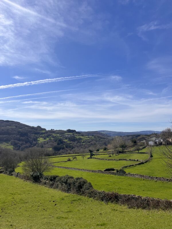
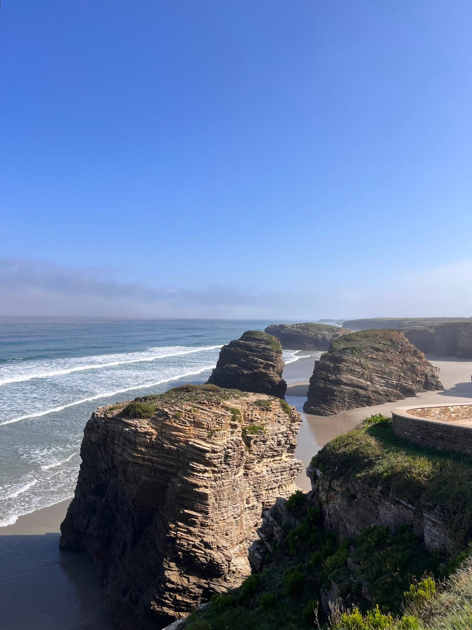
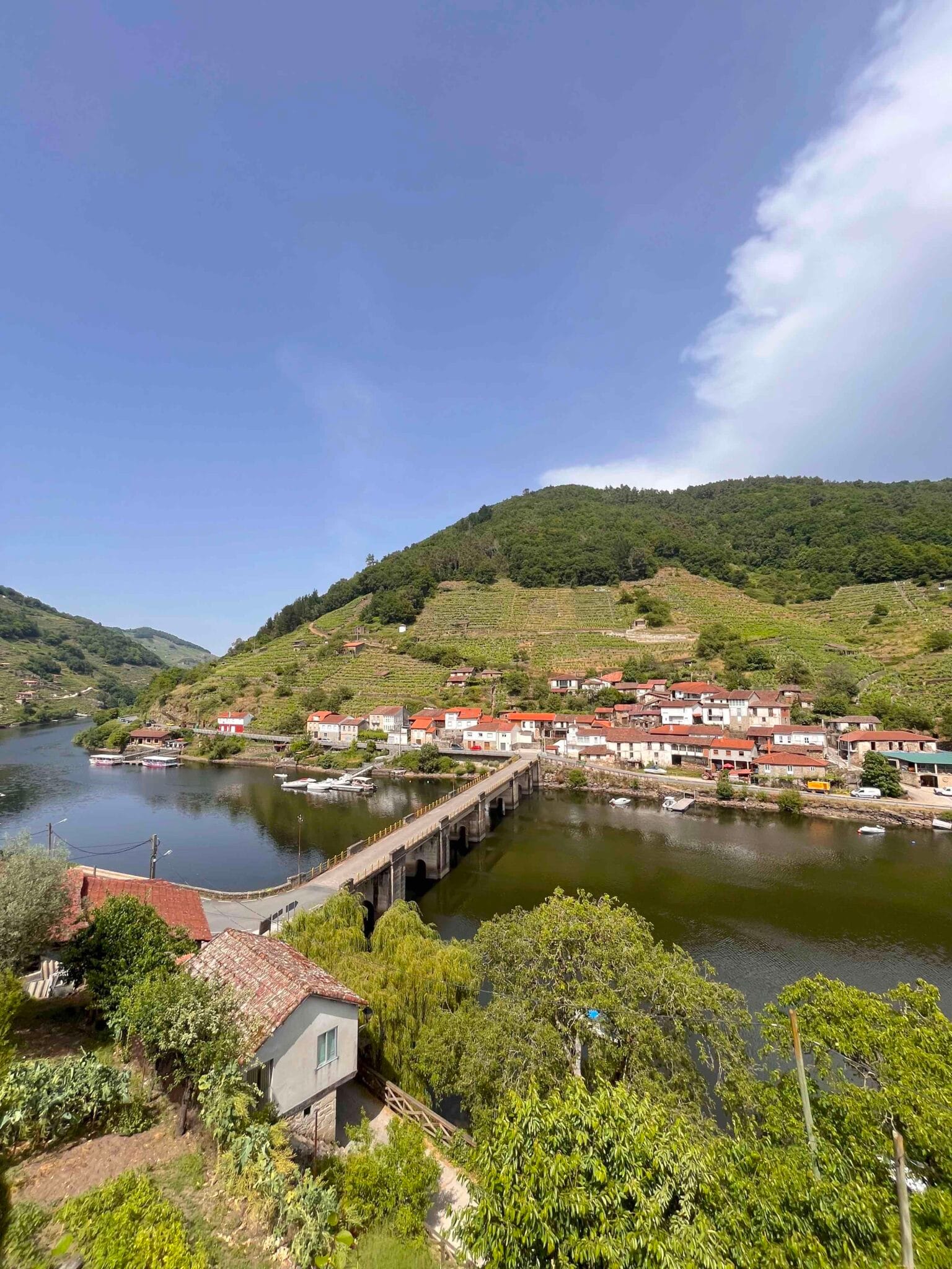
Lugo is not just a place. It is a way of understanding time, the landscape and the local cuisine. A natural environment where every valley, every coastline and every path tells a different story.
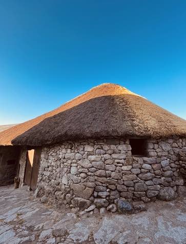
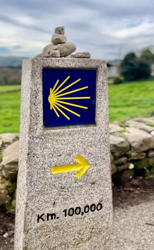
Lugo, land of paths
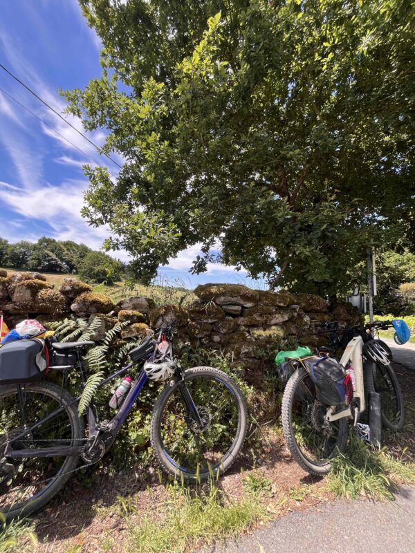
Every year, thousands of people walk the Camino de Santiago, which passes through the province of Lugo, among others.
Camino Francés, Camino Primitivo, Camino de Norte and Camino de Invierno pass through landscapes, villages and towns where hospitality is an integral part of the local culture.
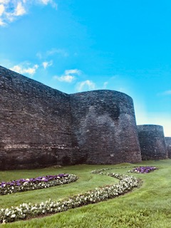
To explore Lugo is to discover a Galicia deeply rooted in its heritage.
Lugo, the origin of our products
Getting to know our environment means gaining a better understanding of the gastronomic product we work with.
We invite you to pause, look around you and let yourself be surprised by all that Lugo has to offer.
Because there are places you simply visit, and others that stay with you long after you’ve discovered them.